Prepare for wind, NWS says.
Big Idea
- The National Weather Service in Flagstaff issues both a Red Flag Warning & a Wind Advisory
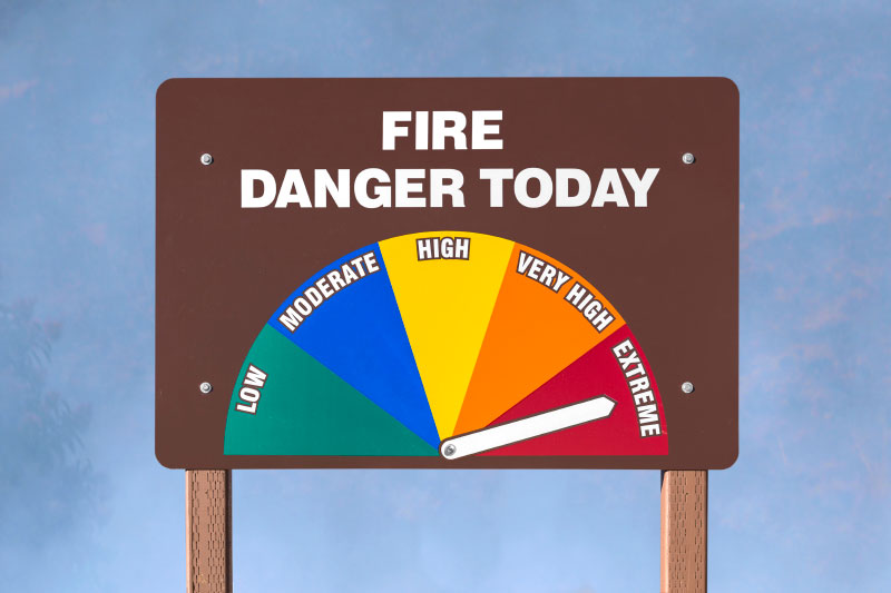
- Gusty winds + low humidity puts the area at extreme fire danger
- Winds will be at 20-30 mph, gusting to 50 mph
- Gusty winds could also toss around flying objects
- Read more...
...RED FLAG WARNING IN EFFECT FROM 11 AM TO 8 PM MST THURSDAY FOR MUCH OF NORTHERN ARIZONA...
* AFFECTED AREA...Locations near Buffalo Pass, Camp Verde, Chinle, Chino Valley, Congress, Cottonwood, Dilkon, Doney Park, Eagar-Springerville, Flagstaff, Forest Lakes, Fredonia, Ganado, Grand Canyon, Heber-Overgaard, Holbrook, Jacob Lake, Kayenta, Kykotsmovi, North Rim, Page, Paulden, Prescott, Prescott Valley, Saint Johns, Sedona, Seligman, Shonto, Snowflake-Taylor, Tuba City, Valle, Williams, Window Rock and Winslow. This includes portions of the Apache-Sitgreaves National Forest, Coconino National Forest, Kaibab National Forest, Prescott National Forest and Tonto National Forest.
* WINDS...Southwest 20 to 30 mph with gusts up to 50 mph.
* RELATIVE HUMIDITY...As low as 9 percent.
* IMPACTS...The combination of gusty winds and low humidity can cause fire to rapidly grow in size and intensity before first responders can contain them.
PRECAUTIONARY/PREPAREDNESS ACTIONS...
A Red Flag Warning means that critical fire weather conditions are either occurring or are imminent. A combination of strong winds and low relative humidities can contribute to extreme fire behavior.
...WIND ADVISORY IN EFFECT FROM 11 AM THURSDAY TO 8 PM MST FRIDAY...
* WHAT...South winds 20 to 30 mph with gusts up to 50 mph expected.
* WHERE...Much of northern Arizona including Yavapai, Navajo, and Apache counties.
* WHEN...From 11 AM Thursday to 8 PM MST Friday.
* IMPACTS...Gusty winds could blow around unsecured objects. In addition, winds this strong can make driving difficult, especially for high profile vehicles.
* ADDITIONAL DETAILS...Winds are expected to decrease in intensity for lower elevations and valley locations Thursday night into early Friday morning before increasing once again by early Friday afternoon. Winds will remain gusty overnight for wind prone areas.
PRECAUTIONARY/PREPAREDNESS ACTIONS...
Use extra caution when driving, especially if operating a high profile vehicle. Secure outdoor objects.


